Research and agriculture for a better world
What is Agroecology?
production ecology, resource use efficiency, reducing external inputs, adaptive management, animal welfare, social engagement

Tools

The Online Agroforestry Tools, Data and Projects Catalogue is a central platform that brings together agroforestry-related tools and datasets, making them easier to find, access, and compare through searchable filters and FAIRness indicators.

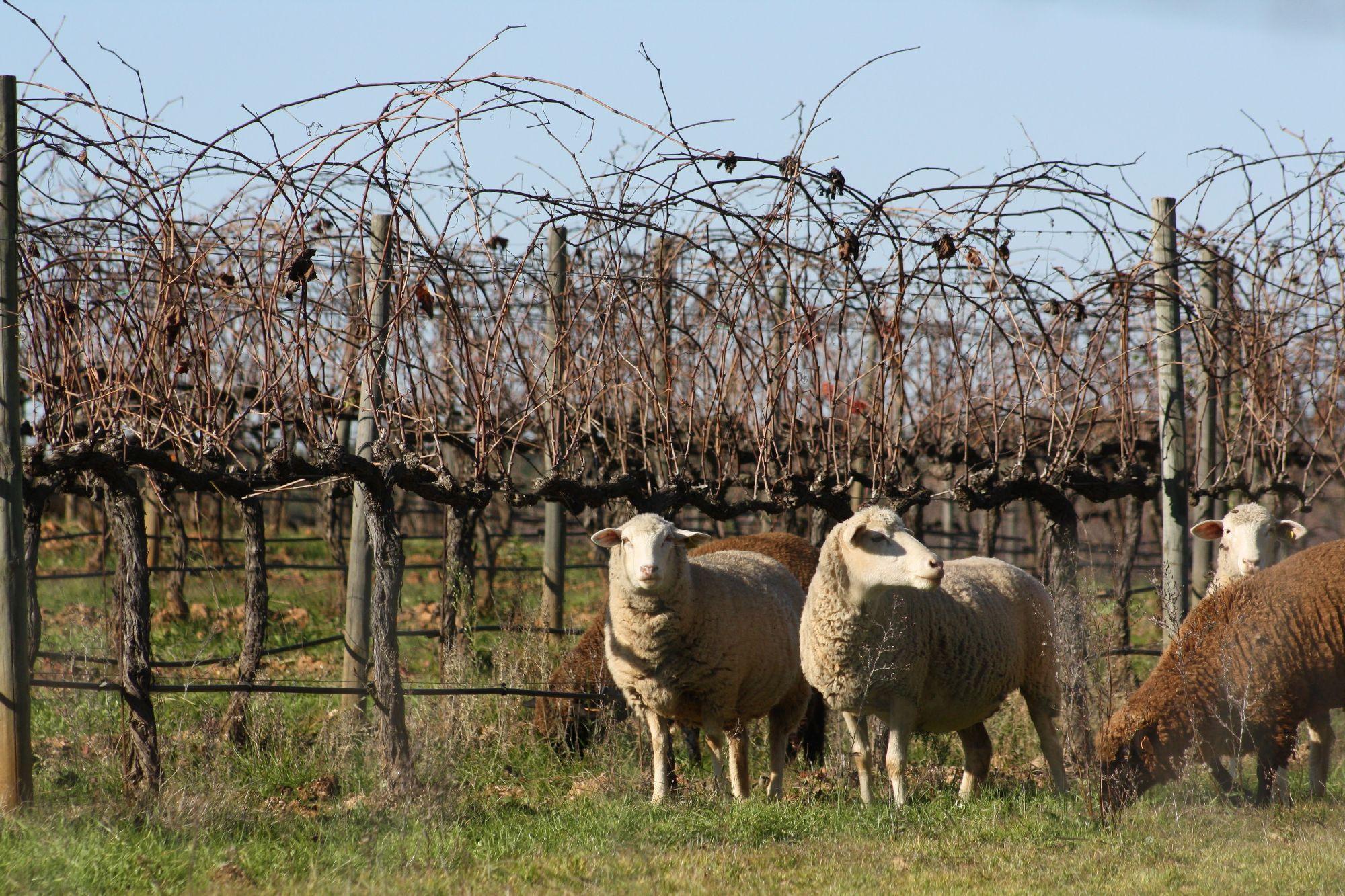
The Agroforestry Permanent Photo Gallery is an open, curated platform for sharing and exploring agroforestry-related images. Photos uploaded to Zenodo receive a DOI and open license, ensuring long-term accessibility and proper attribution.

LPIS stands for "Land Parcel Identification System» and the «LPIS Sustainability Compass» is an online spatial tool that provides a focal point to available LPIS data, provided via Web Feature Service (WFS), integrated with Copernicus data (provided via its API) while delivering seamless, on the fly, calculated statistical insights from these datasets related to the selected LPIS plot/farm data, and providing unique contextual data about other plots/farms in the neighborhood from Copernicus services.
As part of the EU project DigitAF, a virtual space for agroforesters focused on digital tools is under development. The Questions and Answers tool is part of such umbrella and invites you to ask questions, where a community of agroforesters will interact with your question. Just register and throw your question. Try to answer what you can!
- 1 of 5
- next ›